National Water Research Institute of Malaysia

Publication catalogue

NAHRIM Publications

Search public reports, journal articles, conference papers and downloadable PDF/eBook resources.

Search result

Public publication records

40 records
Working PaperRegistered2022

RESEARCH AND DEVELOPMENT ON RAINWATER HARVESTING SYSTEM IN NAHRIM - KUNJUNGAN LAWATAN MALAYSIAN GREEN TECHNOLOGY AND CLIMATE CHANGE CORPORATION (MGTC)

The Hydrology and Water Resources Unit of the Water Resources and Climate Change Research Centre, NAHRIM, has created an updated slide presentation for its R&D initiatives regarding physical and non-physical projects related to...

rainwaterrainwater harvesting system RWHSalternative water resources
Working PaperRegistered2021

Cadangan Teknologi Empangan Sabo di Daerah Yan dan Kuala Muda, Kedah

Cadangan Teknologi Empangan Sabo di Daerah Yan dan Kuala Muda, Kedah ini disediakan lanjutan daripada kejadian banjir lumpur akibat fenomena kepala air di Daerah Yan, Kuala Muda Kedah pada 18 Ogos 2021. Banjir lumpur telah meng...

Teknologi SaboGunung JeraiAliran Debris
Working PaperPublic2021

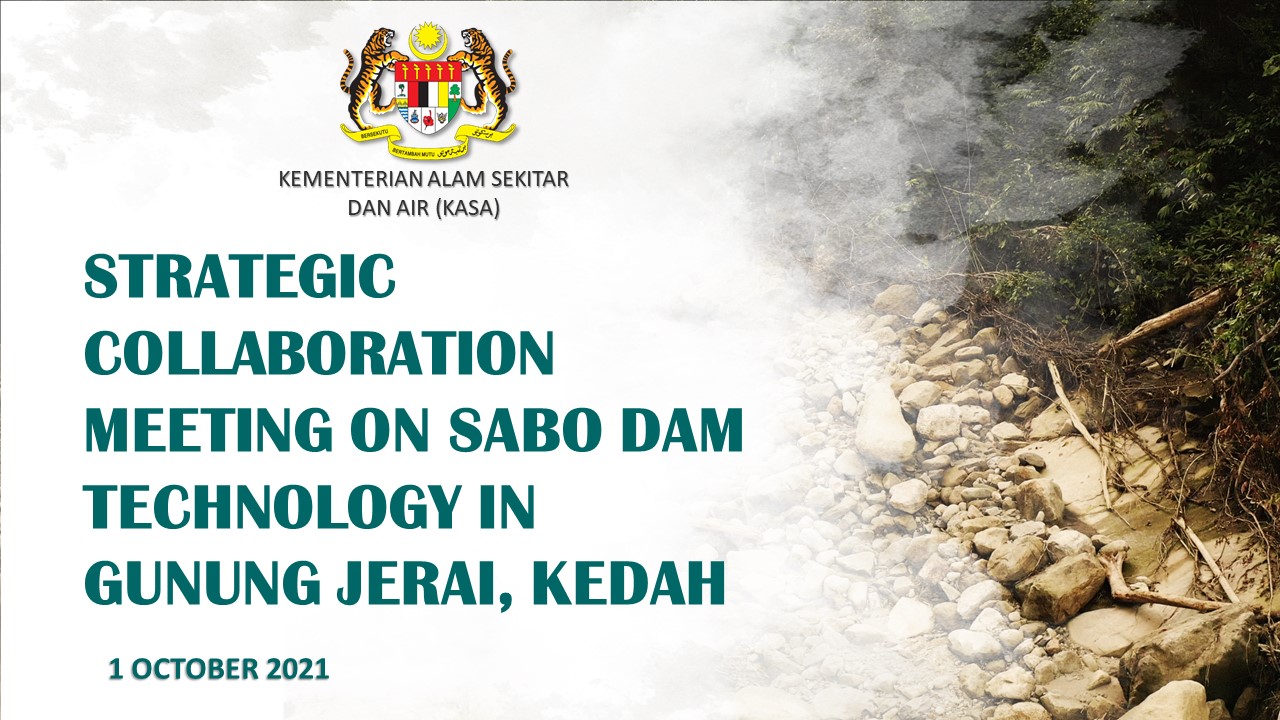
Strategic Collaboration Meeting on Sabo Dam Technology in Gunung Jerai, Kedah_1 Oct 2021

Debris flow was caused by continuous heavy rainfall in The Mount Jerai area and fast flowing water to the foothills of the mountain involving Sungai Kunyit, Sungai Teroi and Sungai Puteri Mandi. The rapid flow has swished logs,...

Debris FlowGunung JeraiStrategic Collaboration
Working PaperRegistered2017

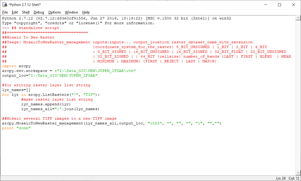
ArcGIS Python script for automated raster mosaic (DEM)

ArcGIS Python script for automated raster processing - mosaic raster tiles, specifically for Digital Elevation Model (DEM) using Mosaic To New Raster function in ArcGIS. For both ArcMap and standalone Python environment.

ArcGISGISscriptcoderastermosaicDEMDigital Elevation Model
Working PaperRegistered2017

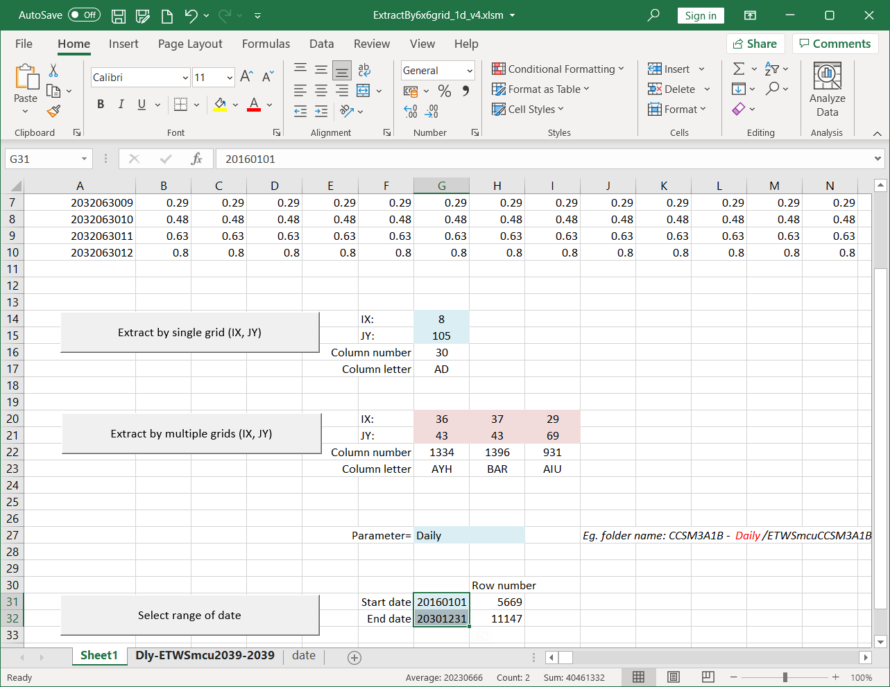
ArcGIS Online: Flood Flow Decision Support System (FFDSS)

Flood Flow Decisison Support System (FFDSS) is a web-based map system that built and integrated with Geographical Information System (GIS) which allows you to access soil hydrologic information by sub-catchment level at your fi...

FFDSSGISArcGISArcGIS Onlinehydrologic soil groupinfiltration ratesoil seriessoil texture classsoil componentssoil depthhydrologyPeninsular MalaysiaPeninsular
Working PaperRegistered2019

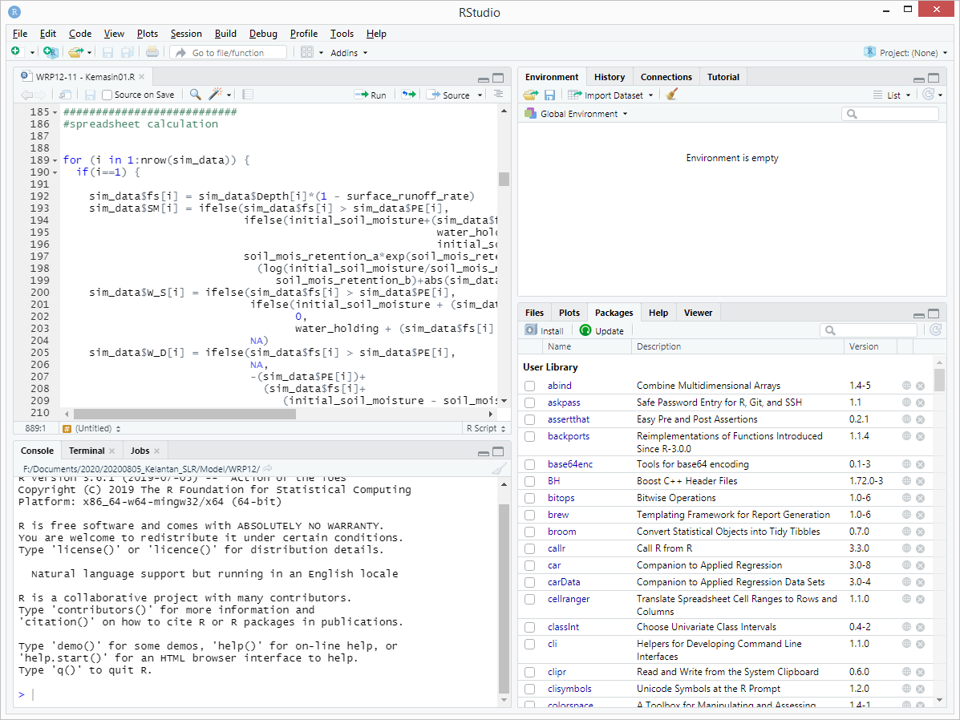
Water balance model (WRP12) in R

Water balance model in R using JPS Water Resources Publication 12 (WRP12). Based on JPS WRP12 spreadsheet from Ir Mohd Zaki.

water balance modelWRP12Thornthwaite-MatherRhydrology
Working PaperRegistered2020

The Potential of Two-Dimensional Hydrodynamic Flood Modelling for Johor River Basin

Hydrodynamic flood modelling can be carried out either using one-dimensional or two-dimensional approaches. In terms of flood hazard mapping, one-dimensional (1D) flood modelling is a conventional approach. The two-dimensional ...

FloodFlood Hazard MappingHydrodynamic Flood Modelling
Working PaperPublic2018

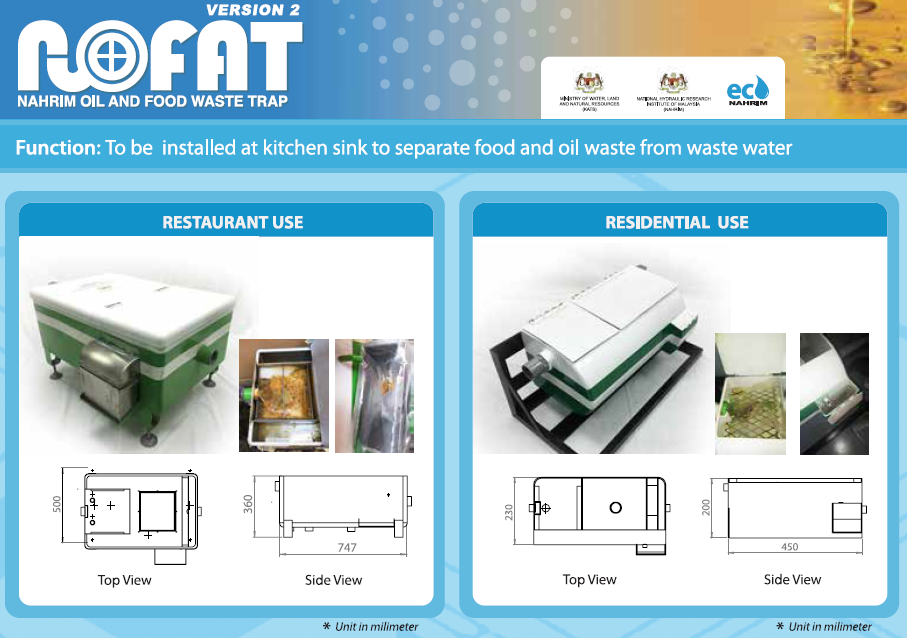
NoFAT V2

Fungsi: Dipasang di sinki dapur untuk mengasingkan sisa makanan dan minyak dari air sisa KEGUNAAN RESTORAN Kelebihan - Sisa makanan dan minyakterperangkap dan dikumpulkan dalam karung yang berlainan -Tiada bekalan kuasa diperlu...

grease trap