National Water Research Institute of Malaysia

Publication catalogue

NAHRIM Publications

Search public reports, journal articles, conference papers and downloadable PDF/eBook resources.

Search result

Public publication records

629 records
LaporanPublic2022

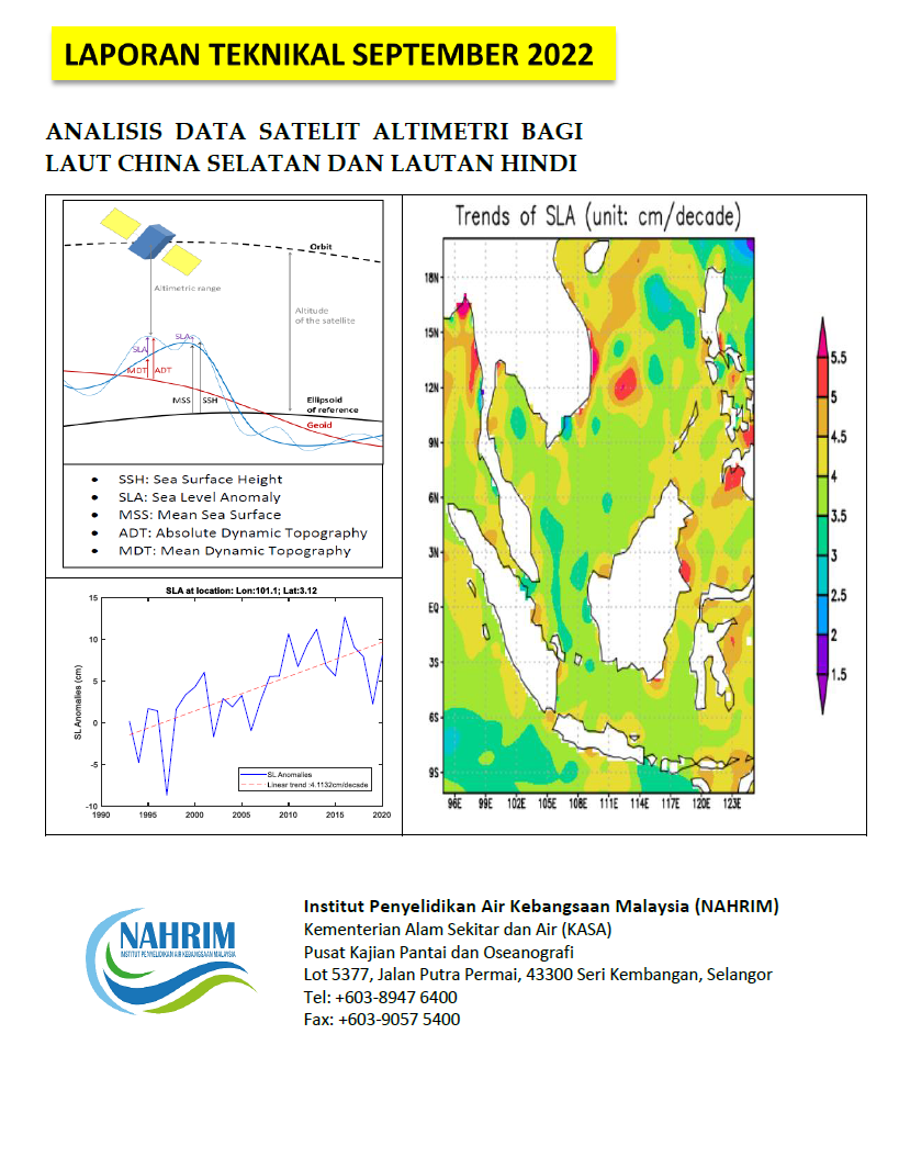
ANALISIS DATA SATELIT ALTIMETRI BAGI LAUT CHINA SELATAN DAN LAUTAN HINDI

Laporan ini menganalisis data satelit altimetri bagi Laut China Selatan dan perairan Malaysia untuk mengkaji anomali paras laut (SLA) dari tahun 1993 hingga 2020. Data yang diproses oleh DUACS dari AVISO+ menunjukkan peningkata...

Anomali Aras LautSatelit AltimetriLaut China SelatanKenaikan Aras LAutDUACS/AVISO data
LaporanPublic2024

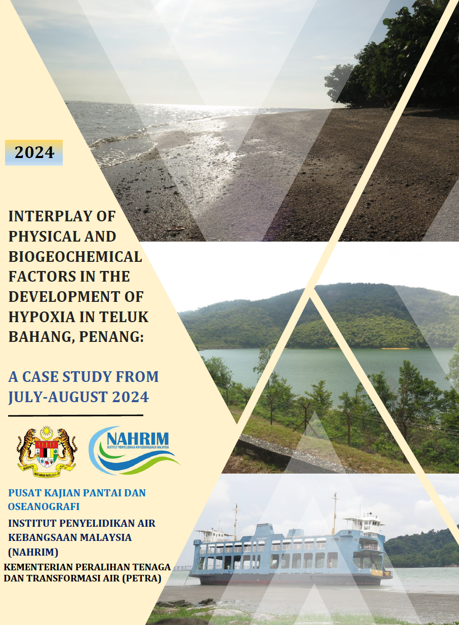
INTERPLAY OF PHYSICAL AND BIOGEOCHEMICAL FACTORS IN THE DEVELOPMENT OF HYPOXIA IN TELUK BAHANG, PENANG: A CASE STUDY FROM JULY AUGUST 2024

This study examines the interaction of physical and biogeochemical factors in the development of hypoxia in Teluk Bahang, Penang Island, during July to August 2024. In situ observations analyzed the influence of neap and spring...

Dissolved OxygenHypoxiaWater StratificationNeap and Spring TidesNutrientsChlorophyll-A
Seminar / Bengkel / KolokiumPublic2024

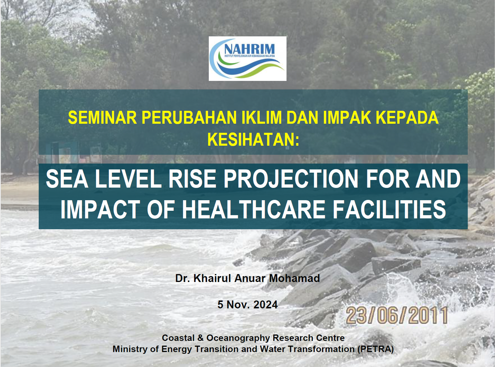
SEMINAR PERUBAHAN IKLIM DAN IMPAK KEPADA KESIHATAN: SEA LEVEL RISE PROJECTION FOR AND IMPACT OF HEALTHCARE FACILITIES

Seminar bertajuk "Perubahan Iklim dan Impak kepada Kesihatan: Unjuran Kenaikan Aras Laut dan Kesan kepada Kemudahan Penjagaan Kesihatan" yang dianjurkan oleh NAHRIM pada 5 November 2024 mengetengahkan kajian mengenai kenaikan a...

Kenaikan Aras Laut (SLR)Perubahan IklimKesihatan AwamAdaptasi Pantai NAHRIM
Seminar / Bengkel / KolokiumPublic2025

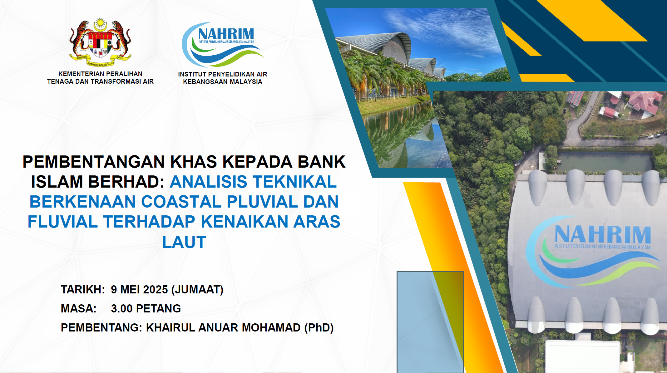
PEMBENTANGAN KHAS KEPADA BANK ISLAM BERHAD: ANALISIS TEKNIKAL BERKENAAN COASTAL PLUVIAL DAN FLUVIAL TERHADAP KENAIKAN ARAS LAUT

Pembentangan khas oleh Institut Penyelidikan Air Kebangsaan Malaysia (NAHRIM) kepada Bank Islam Berhad pada 9 Mei 2025 mengetengahkan analisis teknikal tentang impak kenaikan aras laut (SLR) terhadap sistem pantai, pluvial, dan...

Sea Level DataECMWFPODAACHydrologyIMERG DataOne Stop Sea Level ObservationPluvialFluvial
LaporanRegistered2022

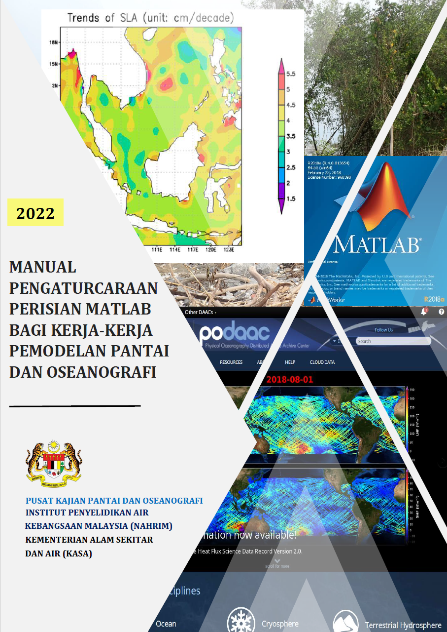
MANUAL PENGATURCARAAN PERISIAN MATLAB BAGI KERJA-KERJA PEMODELAN PANTAI DAN OSEANOGRAFI

This study presents a MATLAB-based framework for coastal and oceanographic modeling, focusing on sediment transport, river flow, and sea level rise (SLR) analysis, developed by NAHRIM, Malaysia. It details MATLAB’s application ...

MATLABHydrologySCS Curve NUmberGumbel Extreme ValuePODAAC-Altimetry Sea Level Data
LaporanRegistered2021

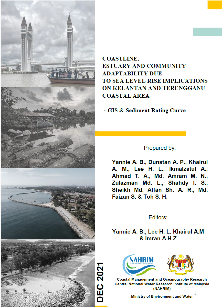
COASTLINE, ESTUARY AND COMMUNITY ADAPTABILITY DUE TO SEA LEVEL RISE IMPLICATIONS ON KELANTAN AND TERENGGANU COASTAL AREA - GIS & Sediment Rating Curve

This study evaluates the implications of sea level rise on the coastal areas of Kelantan and Terengganu, focusing on coastline dynamics, estuary changes, and community adaptability. Utilizing Geographic Information System (GIS)...

GISsediment Rating CurveKelantanTerengganu
LaporanRegistered2023

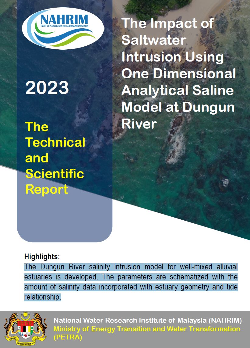
The Impact of Saltwater Intrusion Using One Dimensional Analytical Saline Model at Dungun River

The Dungun River salinity intrusion model for well mixed alluvial estuaries is developed. The parameters are schematized with the amount of salinity data incorporated with estuary geometry and tide relationship

Saltwater IntrusionDungun RiverOne dimensional MethodSalinity CurveHigh Water Spring-Flood TideLow Water Spring-Ebb TideRiver Cross Section
LaporanPublic2025

Groundwater and Surfacewater interaction at Tasik Chini

The Hydrogeology Research Centre has undertaken a numerical groundwater modelling project to support the development of the Tasik Chini Lake Management Master Plan. This study aims to characterize the interactions between groun...

surfacewater and groundwater interactionwater qualityminingtasik chini
LaporanPublic2025

PERSAMPELAN, PENYEDIAAN DAN ANALISIS IN-SITU SAMPEL AIR TANAH DAN AIR TASIK/PERMUKAAN BAGI PAYA INDAH WETLANDS

Paya Indah Wetlands di Dengkil, Selangor, merupakan kawasan ekosistem paya yang unik dan menjadi habitat kepada pelbagai flora dan fauna. Kepentingan ekosistem ini bukan hanya untuk biodiversiti, tetapi juga sebagai sumber air ...

surface watergroundwaterpaya indah wetlamdswater quality
LaporanPublic2025

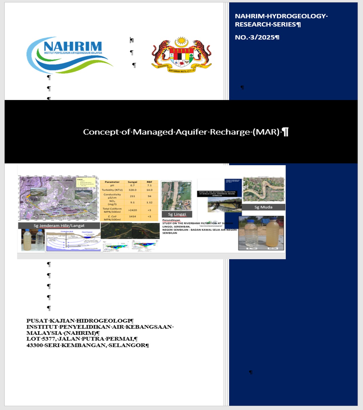
Concept of Managed Aquifer Recharge (MAR)

Managed Aquifer Recharge (MAR) is the process of intentionally augmenting the natural recharge of groundwater by directing water into an aquifer through various techniques, methods, and systems. The goal of MAR is to sustainabl...

groundwatermanaged aquifer rechargeartificial recharge