
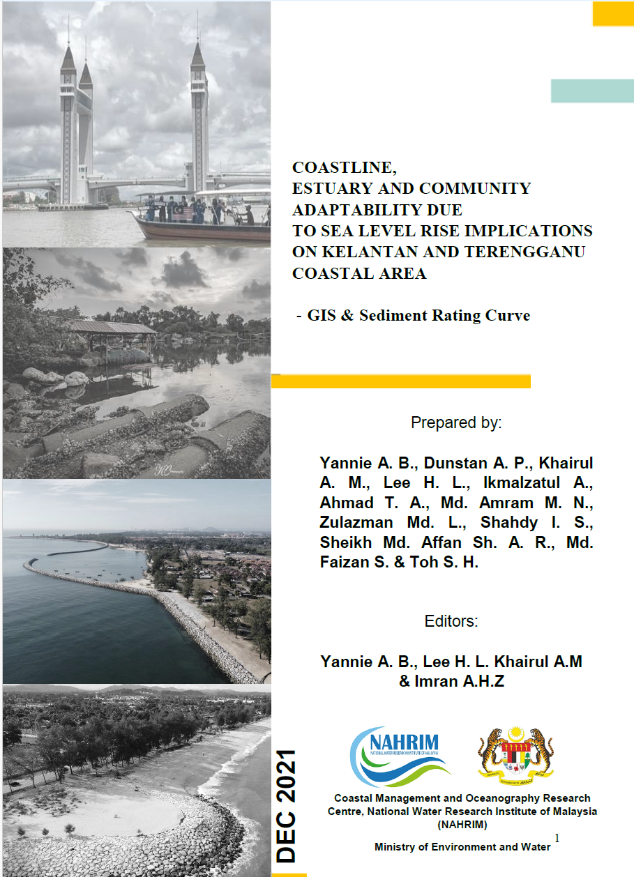
COASTLINE, ESTUARY AND COMMUNITY ADAPTABILITY DUE TO SEA LEVEL RISE IMPLICATIONS ON KELANTAN AND TERENGGANU COASTAL AREA - GIS & Sediment Rating Curve
This study evaluates the implications of sea level rise on the coastal areas of Kelantan and Terengganu, focusing on coastline dynamics, estuary changes, and community adaptability. Utilizing Geographic Information System (GIS) data and sediment rating curves, the research analyzes sediment transport, erosion, and flow distribution across major rivers, including Sungai Kelantan and Sungai Terengganu. Key findings reveal that Ibai catchment exhibits the highest soil erosion (70.13 ton/ha/year) due to urbanization, while Kelantan shows the lowest (22.98 ton/ha/year) due to extensive forest cover. Flow duration curves indicate a linear relationship between rainfall and river flow, with larger catchments like Terengganu (4596 km²) showing tripled flow at ARI 50. The study underscores the need for enhanced coastal management strategies to mitigate erosion and flooding risks, particularly in vulnerable areas like Kijal, Terengganu.
Authors
Abstract
This study evaluates the implications of sea level rise on the coastal areas of Kelantan and Terengganu, focusing on coastline dynamics, estuary changes, and community adaptability. Utilizing Geographic Information System (GIS) data and sediment rating curves, the research analyzes sediment transport, erosion, and flow distribution across major rivers, including Sungai Kelantan and Sungai Terengganu. Key findings reveal that Ibai catchment exhibits the highest soil erosion (70.13 ton/ha/year) due to urbanization, while Kelantan shows the lowest (22.98 ton/ha/year) due to extensive forest cover. Flow duration curves indicate a linear relationship between rainfall and river flow, with larger catchments like Terengganu (4596 km²) showing tripled flow at ARI 50. The study underscores the need for enhanced coastal management strategies to mitigate erosion and flooding risks, particularly in vulnerable areas like Kijal, Terengganu.
Citation
DR. KHAIRUL ANUAR MOHAMAD, YANNIE ANAK BENSON, DUNSTAN ANTHONY PEREIRA, ANIZAWATI AHMAD, WAN AHMAD HAFIZ WMA, IKMALZATUL BINTI ABDULLAH. 2021. COASTLINE, ESTUARY AND COMMUNITY ADAPTABILITY DUE TO SEA LEVEL RISE IMPLICATIONS ON KELANTAN AND TERENGGANU COASTAL AREA - GIS & Sediment Rating Curve. Digital NAHRIM Publication Repository.