
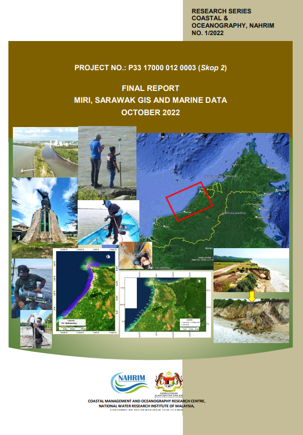
FINAL REPORT MIRI, SARAWAK GIS AND MARINE DATA
The research is under project number P3317000 0120003 are entrusted to National Water Research Institute of Malaysia (NAHRIM) to carry out research. The Project under Sea level rise and coastal geomorphology research program (Program Penyelidikan Kenaikan Aras Laut Dan Geomorfologi Pantai) and which research was focused to scope 2 of geomorphology response and coastal erosion. The study was carried out for two phase which 1st phase started from 20th July 2022 until 15th August 2022 while for 2nd phase, the site works started from 1st September 2022 until 10th October 2022.The objective of the present survey is to study the existing nearshore, seabed profiles and detailed profiles for existing breakwater or structures for the coastal area at Pantai Miri.
Authors
Abstract
The research is under project number P3317000 0120003 are entrusted to National Water Research Institute of Malaysia (NAHRIM) to carry out research. The Project under Sea level rise and coastal geomorphology research program (Program Penyelidikan Kenaikan Aras Laut Dan Geomorfologi Pantai) and which research was focused to scope 2 of geomorphology response and coastal erosion. The study was carried out for two phase which 1st phase started from 20th July 2022 until 15th August 2022 while for 2nd phase, the site works started from 1st September 2022 until 10th October 2022.The objective of the present survey is to study the existing nearshore, seabed profiles and detailed profiles for existing breakwater or structures for the coastal area at Pantai Miri.
Citation
YANNIE ANAK BENSON, DR. KHAIRUL ANUAR MOHAMAD, IMRAN A.Z, SAIFUL BAHRI HAMZAH, MUHD. FARRIZIE M. 2022. FINAL REPORT MIRI, SARAWAK GIS AND MARINE DATA. Digital NAHRIM Publication Repository.