
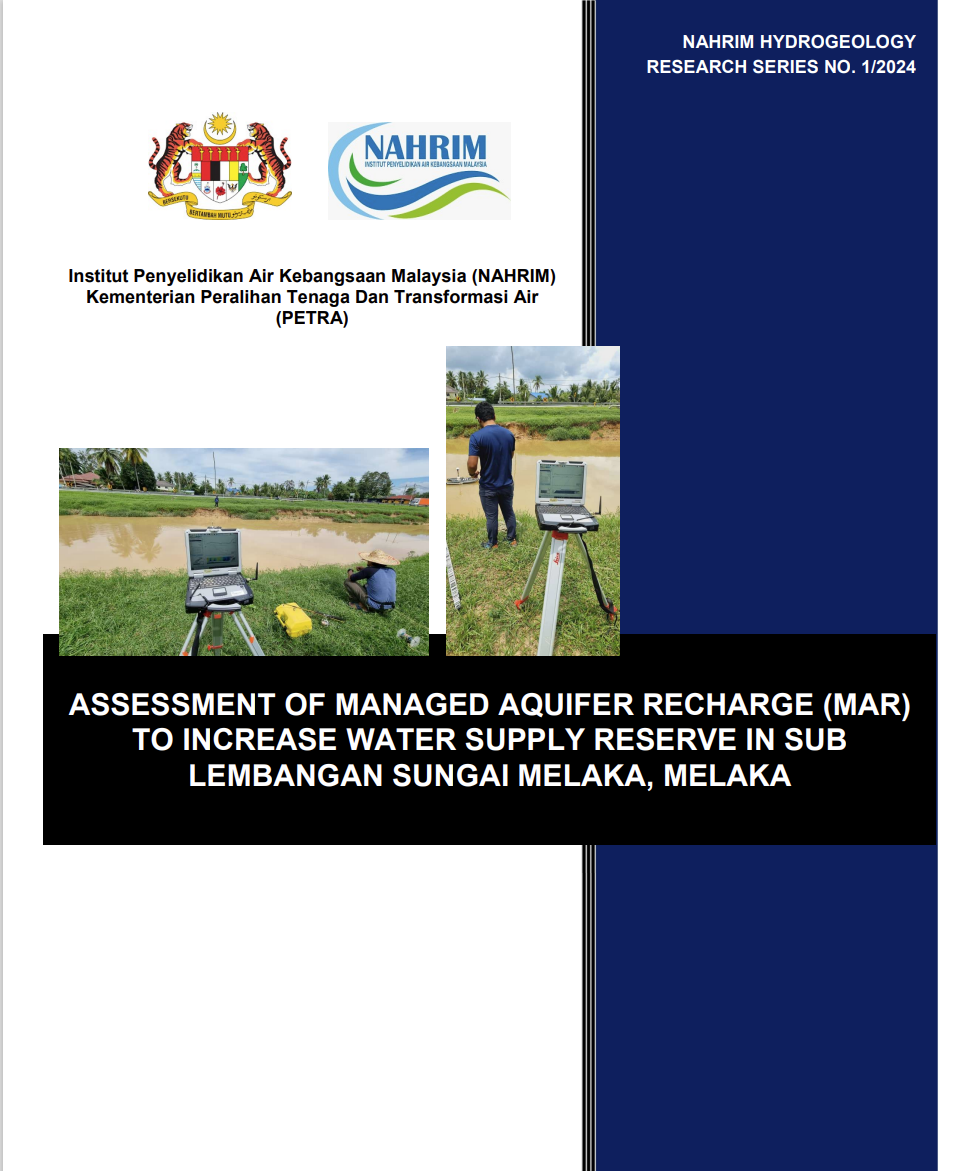
ASSESSMENT OF MANAGED AQUIFER RECHARGE (MAR) TO INCREASE WATER SUPPLY RESERVE IN SUB LEMBANGAN SUNGAI MELAKA, MELAKA
National Water Research Institute of Malaysia (NAHRIM)has been held accountable by the ministry of Ministry of Natural Resources, Environmental and Climate Change (NRECC) to carry out the program for RMK-12 which is “Kajian Meningkatkan Rizab Bekalan Air Mentah” and one of the project is in Melaka River Basin. The successful implementation of this project depends on the reliable quantitative and qualitative assessment of groundwater resources and surface water resource, proper site selection, appropriate number of wells and zoning map suitable for different types of landuse. In order to make the project sustainable and minimize any adverse impact on the environment it is essential that all these issues are thoroughly investigated using scientifically based proven analytical tools. NAHRIM carry out the study using modern technique of numerical modelling tools. The research program aims to determine the underground storage capacity in the Sg. Melaka basin. The methods are primarily based on physical factors and involve an applied evaluation of parameters obtained from field surveys, geological data, geophysical data, precipitation, and groundwater level fluctuation data, as well as desktop studies. The specific objectives of the study are to evaluate hydrogeological characteristics, assess hydrological characteristics, identify potential underground storage sites, and evaluate the feasibility of underground storage. Conceptual models of aquifer systems can be refined and complemented with geophysical data, and they can assist in understanding hydrogeological properties such as groundwater storage capacity. This research attempts to use various technique such as Geophysical (geoelectrical methods, Electrical Resistivity Tomography and Induced Polarization parameters), for mapping the subsurface in alluvial fans and to demonstrate its applicability; the Krubong alluvial fan was used in this study. The resistivity and Transient Electromagnetic (TEM) measurements proved to be a good tool for mapping the subsurface, especially when used in combination with Induced Polarization parameters (i.e., Normalized Chargeability). The Krubong alluvial characterization indicated that the top part of the subsurface is composed of sand and that the grain size decreases with depth; the electrical resistivity of these deposits ranged from 200 to 1000 Ωm, while the values of normalized chargeability were lower than 0.05 mS/m. The bottom of the aquifer system consisted of a layer with high clay content, and the resistivity ranged from 10 to 100 Ωm, while the normalized chargeability is higher than 0.07 mS/m. With the integration of geophysical results and lithological information from borelogs, a refined conceptual model is proposed; this model gives a more detailed description of the local aquifer system. The results indicate that assessing these physical factors is vital before evaluating underground storage potential. Geological and soil investigations, including GIS applications, proved effective in identifying the most favorable underground storage sites. The study found that the Sg. Melaka Basin, covering an area of 664 km², has two potential underground storage areas: The Gadek and Krubong sub-basins. The Gadek sub-basin covers 139 km² with an underground water storage capacity of 21.5 MCM. Meanwhile, the Krubong Flood Mitigation Plan (RTB) area covers 6.1 km² with an underground water storage capacity of 4.57 MCM. Therefore, the total underground water storage for both sub-basins in the Melaka River Basin is 26.07 MCM. The findings also show that aquifers can significantly increase water availability, with groundwater serving as a supplementary source of water supply, thereby helping to alleviate water shortages
Authors
Abstract
National Water Research Institute of Malaysia (NAHRIM)has been held accountable by the ministry of Ministry of Natural Resources, Environmental and Climate Change (NRECC) to carry out the program for RMK-12 which is “Kajian Meningkatkan Rizab Bekalan Air Mentah” and one of the project is in Melaka River Basin. The successful implementation of this project depends on the reliable quantitative and qualitative assessment of groundwater resources and surface water resource, proper site selection, appropriate number of wells and zoning map suitable for different types of landuse. In order to make the project sustainable and minimize any adverse impact on the environment it is essential that all these issues are thoroughly investigated using scientifically based proven analytical tools. NAHRIM carry out the study using modern technique of numerical modelling tools. The research program aims to determine the underground storage capacity in the Sg. Melaka basin. The methods are primarily based on physical factors and involve an applied evaluation of parameters obtained from field surveys, geological data, geophysical data, precipitation, and groundwater level fluctuation data, as well as desktop studies. The specific objectives of the study are to evaluate hydrogeological characteristics, assess hydrological characteristics, identify potential underground storage sites, and evaluate the feasibility of underground storage. Conceptual models of aquifer systems can be refined and complemented with geophysical data, and they can assist in understanding hydrogeological properties such as groundwater storage capacity. This research attempts to use various technique such as Geophysical (geoelectrical methods, Electrical Resistivity Tomography and Induced Polarization parameters), for mapping the subsurface in alluvial fans and to demonstrate its applicability; the Krubong alluvial fan was used in this study. The resistivity and Transient Electromagnetic (TEM) measurements proved to be a good tool for mapping the subsurface, especially when used in combination with Induced Polarization parameters (i.e., Normalized Chargeability). The Krubong alluvial characterization indicated that the top part of the subsurface is composed of sand and that the grain size decreases with depth; the electrical resistivity of these deposits ranged from 200 to 1000 Ωm, while the values of normalized chargeability were lower than 0.05 mS/m. The bottom of the aquifer system consisted of a layer with high clay content, and the resistivity ranged from 10 to 100 Ωm, while the normalized chargeability is higher than 0.07 mS/m. With the integration of geophysical results and lithological information from borelogs, a refined conceptual model is proposed; this model gives a more detailed description of the local aquifer system. The results indicate that assessing these physical factors is vital before evaluating underground storage potential. Geological and soil investigations, including GIS applications, proved effective in identifying the most favorable underground storage sites. The study found that the Sg. Melaka Basin, covering an area of 664 km², has two potential underground storage areas: The Gadek and Krubong sub-basins. The Gadek sub-basin covers 139 km² with an underground water storage capacity of 21.5 MCM. Meanwhile, the Krubong Flood Mitigation Plan (RTB) area covers 6.1 km² with an underground water storage capacity of 4.57 MCM. Therefore, the total underground water storage for both sub-basins in the Melaka River Basin is 26.07 MCM. The findings also show that aquifers can significantly increase water availability, with groundwater serving as a supplementary source of water supply, thereby helping to alleviate water shortages
Citation
AZRUL NORMI IDRIS, ISMAIL TAWNIE, ARSHAD OSMAN, KHAIRUL ANAM MUSA, ANUAR SEFEI. 2024. ASSESSMENT OF MANAGED AQUIFER RECHARGE (MAR) TO INCREASE WATER SUPPLY RESERVE IN SUB LEMBANGAN SUNGAI MELAKA, MELAKA. Digital NAHRIM Publication Repository.