
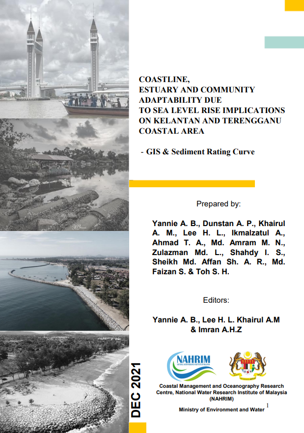
HYDRODYNAMIC MODEL AND POTENTIAL RISK MAP ON SEDIMENT TRANSPORT AT EAST COAST OF PENINSULAR MALAYSIA (KELANTAN AND TERENGGANU)
The main objective of the study is to establish suitable sediment budget movement and shoreline changes map along stretch east coast of Kelantan to Terengganu due to SLR based on the analysis of sediment sample collected from study area whistle can strengthen the capability of the human resource involved. Later it will be modified based on the impact on nearby population settlement, existing coastal structure, mangroves, aquaculture, tourism, and recreational area at the study area.
Authors
Abstract
The main objective of the study is to establish suitable sediment budget movement and shoreline changes map along stretch east coast of Kelantan to Terengganu due to SLR based on the analysis of sediment sample collected from study area whistle can strengthen the capability of the human resource involved. Later it will be modified based on the impact on nearby population settlement, existing coastal structure, mangroves, aquaculture, tourism, and recreational area at the study area.
Citation
YANNIE ANAK BENSON, DUNSTAN ANTHONY PEREIRA, DR. KHAIRUL ANUAR MOHAMAD, IR. DR. LEE HIN LEE, IKMAZTUL. 2021. HYDRODYNAMIC MODEL AND POTENTIAL RISK MAP ON SEDIMENT TRANSPORT AT EAST COAST OF PENINSULAR MALAYSIA (KELANTAN AND TERENGGANU). Digital NAHRIM Publication Repository.