

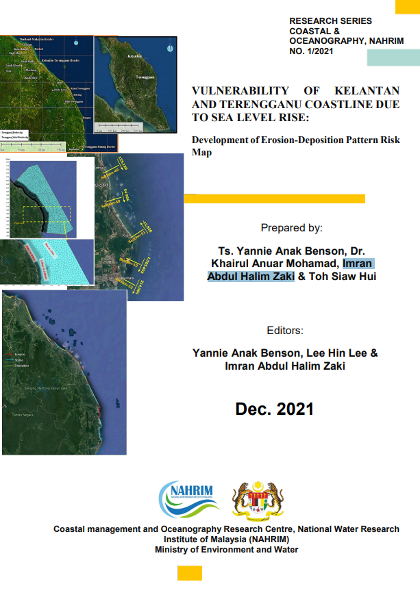
VULNERABILITY OF KELANTAN AND TERENGGANU COASTLINE DUE TO SEA LEVEL RISE: Development of Erosion-Deposition Pattern Risk Map
The potential implications of present sea level rise on human populations living in coastal regions and on islands have made this a critical concern. Sea level rise poses potential risks to our coastal community, particularly to low-lying and estuarine areas, such as inundation, erosion, more frequent and intense storm surges, wave overtopping, and saltwater intrusion into the water intake, all of which will impact the socioeconomic and environmental systems. The physical fragility of the shoreline related to sea level impacts on sedimentation and movement is essential. These will have an influence not just on the river mouth depth, but also on the shipping route, lost coastal land, and existing infrastructure in the area. Beach features and material also have a role in identifying the region at risk of erosion or deposition. Shoreline features such as sandy or rocky, vegetated or not, determine its vulnerability to erosion from increasing sea levels. As a result, the coastal ecosystem is very susceptible and must be conserved, particularly in regions of high socioeconomic value and sensitive category. NAHRIM performed study on the Vulnerability of the Kelantan and Terengganu coasts to sea level rise: Development of an Erosion-Deposition Pattern Risk Map in 2021. As a result, this book will present an overview of Kelantan and Terengganu's beaches, as well as information on their hydrodynamics and possible threats from sea level rise. This book is intended to give broad information about the coastal geomorphology of both regions, as well as create awareness among us about the need of being prepared and safeguarding our coastal areas in the future
Authors
Abstract
The potential implications of present sea level rise on human populations living in coastal regions and on islands have made this a critical concern. Sea level rise poses potential risks to our coastal community, particularly to low-lying and estuarine areas, such as inundation, erosion, more frequent and intense storm surges, wave overtopping, and saltwater intrusion into the water intake, all of which will impact the socioeconomic and environmental systems. The physical fragility of the shoreline related to sea level impacts on sedimentation and movement is essential. These will have an influence not just on the river mouth depth, but also on the shipping route, lost coastal land, and existing infrastructure in the area. Beach features and material also have a role in identifying the region at risk of erosion or deposition. Shoreline features such as sandy or rocky, vegetated or not, determine its vulnerability to erosion from increasing sea levels. As a result, the coastal ecosystem is very susceptible and must be conserved, particularly in regions of high socioeconomic value and sensitive category. NAHRIM performed study on the Vulnerability of the Kelantan and Terengganu coasts to sea level rise: Development of an Erosion-Deposition Pattern Risk Map in 2021. As a result, this book will present an overview of Kelantan and Terengganu's beaches, as well as information on their hydrodynamics and possible threats from sea level rise. This book is intended to give broad information about the coastal geomorphology of both regions, as well as create awareness among us about the need of being prepared and safeguarding our coastal areas in the future
Citation
YANNIE ANAK BENSON, DR. KHAIRUL ANUAR MOHAMAD, Imran Abdul Halim Zaki, IR. DR. LEE HIN LEE. 2021. VULNERABILITY OF KELANTAN AND TERENGGANU COASTLINE DUE TO SEA LEVEL RISE: Development of Erosion-Deposition Pattern Risk Map . Digital NAHRIM Publication Repository.