
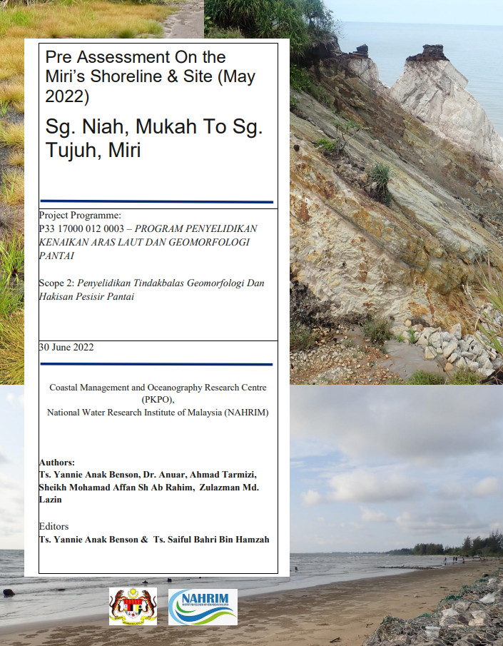
Pre Assessment On the Miri’s Shoreline & Site (May 2022)
Site recce campaign was started on 14th March 2022 to 17th March 2022 and the location was at Sg. Niah, Niah extends to Sg. Tujuh, near border of Miri - Brunei. There are 21 main points of location were planned (SR – Site Recce, SR 1 to SR21) to be recce but due considering to the suitability of the location, accessibility for transportation, topography or landforms in the area, and coverage line of the telephone and internet service networks, only 16 points were able to be completed and accessible for recce. This site recce report will cover all the successful retrieved data on Geographic Information System (GIS), selected rivers salinity, and site recce’s profiling data.
Authors
Abstract
Site recce campaign was started on 14th March 2022 to 17th March 2022 and the location was at Sg. Niah, Niah extends to Sg. Tujuh, near border of Miri - Brunei. There are 21 main points of location were planned (SR – Site Recce, SR 1 to SR21) to be recce but due considering to the suitability of the location, accessibility for transportation, topography or landforms in the area, and coverage line of the telephone and internet service networks, only 16 points were able to be completed and accessible for recce. This site recce report will cover all the successful retrieved data on Geographic Information System (GIS), selected rivers salinity, and site recce’s profiling data.
Citation
YANNIE ANAK BENSON, DR. KHAIRUL ANUAR MOHAMAD, SAIFUL BAHRI HAMZAH. 2022. Pre Assessment On the Miri’s Shoreline & Site (May 2022). Digital NAHRIM Publication Repository.