
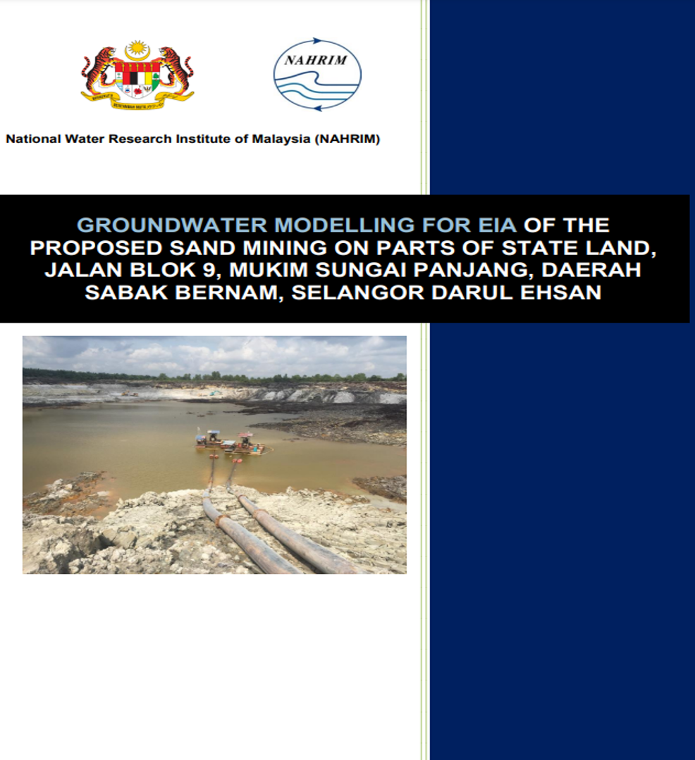
GROUNDWATER MODELLING FOR EIA
Kumpulan Semesta Sdn. Bhd. (KSSB) proposed to operate sand mining in Jalan Blok 9, Mukim Sungai Panjang, Daerah Sabak Bernam, Selangor Darul Ehsan. Environmental Impact Assessment (EIA) was required by the Department of Environment Malaysia (DOE) due to the sensitivity of the proposed sand mining area. A detailed groundwater modelling with contaminant transport was also imposed by DOE based on Minerals and Geoscience Department of Malaysia (JMG) requirement as a part of the study. Groundwater models have been established to study groundwater impact on proposed sand mining operation at Mukim Sungai Panjang, Daerah Sabak Bernam, Selangor. Data utilized in this study were retrieved from well drilling and field permeability test of 7 boreholes. The present water table (pressure head) within the model area shows between 0.22 to 1.25 m above mean sea level (a.m.s.l). The pressure head is greatly influenced by the topography and river levels. Generally, pressure head show groundwater flow pattern with gentle gradient decreased from southwest to northeast. Dry-pit mining is a method conducted on the mining site with the use of heavy equipment such as palong, pump, scrapers and loaders. There are two main layers at the mining area of Sabak Bernam, namely the overburden layer and the underlying layer of sand. This wet dredging method is commenced by dropping the water level to about 0.22-1.25 m which can be done by pumping water out or dewatering the pit into another reservoir, Phase 2, and excavating it for the purpose of removing the overburden layer. Moreover, a water jet which ejects water at a high pressure is used to disintegrate materials, preventing them from forming heavy clumps. After water level has decreased to a certain level, sand will be collected and backfilled to the excavated pit. These events happen once the sand contains a sufficient amount of water. Afterwards, the pump will recycle the mud water back into Phase 1. Apart from that, heavy machineries are also utilized to transport sand from ex-mining area, Phase 1 to Stock Pile. The sand that remains will then be accumulated and collected in this site. Excess materials, such as silt and clay, will also be mixed with water, which then accumulates in the sedimentation site. However, these fine materials will be recycled back into mine tailing as they function to reduce the effect of drop in water table with decreasing permeability of the soil. Hence, the walls of the pit can be prevented from collapsing. The calibrated groundwater flow model is used to simulate the potential impact of groundwater system due to the sand mining activities. During early stage of mining operation, no impact to the groundwater system of the surrounding area. However, during the final stage when mining depth become deeper, the pressure head increases in the mining area which decrease the water table. During post mining operation, water level in the area of sand mining will increase to normal condition as the low permeable clay tail mining will be dumped surrounding the mining pond. The calibrated groundwater flow model was also used to simulate the potential threats of contaminants due to the mining operation. The potential contaminants expected to involve oil and heavy metal. Oil source could be leakage from diesel fuel storage tank. The source of heavy metal could be originated from disturbance of soil and rock containing heavy metal elements. The simulation shows oil contaminant could spread and contaminate the surrounding area and the aquifers. However, the contaminant shows no sign of movement, ii but it shows the dilution. The dilution of BTEX to the minimum level 0.005 mg/L in 20 years. Arsenic and lead showed no movement to the outside of the mining area. The proposed sand mining operation is expected to have a minimal impact to the groundwater regime in the mining and its surrounding area even though deep excavations were to be carried out resulted in dewatering and recharging. The affected area is only in the southeastern part of the sand mining area during operation but the water level drawdown will be minimal as the water abstracted from mining pond will be circulated into the pond and the tailing will be dumped into excavated pond.
Authors
Abstract
Kumpulan Semesta Sdn. Bhd. (KSSB) proposed to operate sand mining in Jalan Blok 9, Mukim Sungai Panjang, Daerah Sabak Bernam, Selangor Darul Ehsan. Environmental Impact Assessment (EIA) was required by the Department of Environment Malaysia (DOE) due to the sensitivity of the proposed sand mining area. A detailed groundwater modelling with contaminant transport was also imposed by DOE based on Minerals and Geoscience Department of Malaysia (JMG) requirement as a part of the study. Groundwater models have been established to study groundwater impact on proposed sand mining operation at Mukim Sungai Panjang, Daerah Sabak Bernam, Selangor. Data utilized in this study were retrieved from well drilling and field permeability test of 7 boreholes. The present water table (pressure head) within the model area shows between 0.22 to 1.25 m above mean sea level (a.m.s.l). The pressure head is greatly influenced by the topography and river levels. Generally, pressure head show groundwater flow pattern with gentle gradient decreased from southwest to northeast. Dry-pit mining is a method conducted on the mining site with the use of heavy equipment such as palong, pump, scrapers and loaders. There are two main layers at the mining area of Sabak Bernam, namely the overburden layer and the underlying layer of sand. This wet dredging method is commenced by dropping the water level to about 0.22-1.25 m which can be done by pumping water out or dewatering the pit into another reservoir, Phase 2, and excavating it for the purpose of removing the overburden layer. Moreover, a water jet which ejects water at a high pressure is used to disintegrate materials, preventing them from forming heavy clumps. After water level has decreased to a certain level, sand will be collected and backfilled to the excavated pit. These events happen once the sand contains a sufficient amount of water. Afterwards, the pump will recycle the mud water back into Phase 1. Apart from that, heavy machineries are also utilized to transport sand from ex-mining area, Phase 1 to Stock Pile. The sand that remains will then be accumulated and collected in this site. Excess materials, such as silt and clay, will also be mixed with water, which then accumulates in the sedimentation site. However, these fine materials will be recycled back into mine tailing as they function to reduce the effect of drop in water table with decreasing permeability of the soil. Hence, the walls of the pit can be prevented from collapsing. The calibrated groundwater flow model is used to simulate the potential impact of groundwater system due to the sand mining activities. During early stage of mining operation, no impact to the groundwater system of the surrounding area. However, during the final stage when mining depth become deeper, the pressure head increases in the mining area which decrease the water table. During post mining operation, water level in the area of sand mining will increase to normal condition as the low permeable clay tail mining will be dumped surrounding the mining pond. The calibrated groundwater flow model was also used to simulate the potential threats of contaminants due to the mining operation. The potential contaminants expected to involve oil and heavy metal. Oil source could be leakage from diesel fuel storage tank. The source of heavy metal could be originated from disturbance of soil and rock containing heavy metal elements. The simulation shows oil contaminant could spread and contaminate the surrounding area and the aquifers. However, the contaminant shows no sign of movement, ii but it shows the dilution. The dilution of BTEX to the minimum level 0.005 mg/L in 20 years. Arsenic and lead showed no movement to the outside of the mining area. The proposed sand mining operation is expected to have a minimal impact to the groundwater regime in the mining and its surrounding area even though deep excavations were to be carried out resulted in dewatering and recharging. The affected area is only in the southeastern part of the sand mining area during operation but the water level drawdown will be minimal as the water abstracted from mining pond will be circulated into the pond and the tailing will be dumped into excavated pond.
Citation
P.GEOL, DR. MOHD KHAIRUL NIZAR SHAMSUDDIN, ANUAR SEFIE. 2021. GROUNDWATER MODELLING FOR EIA. Digital NAHRIM Publication Repository.