
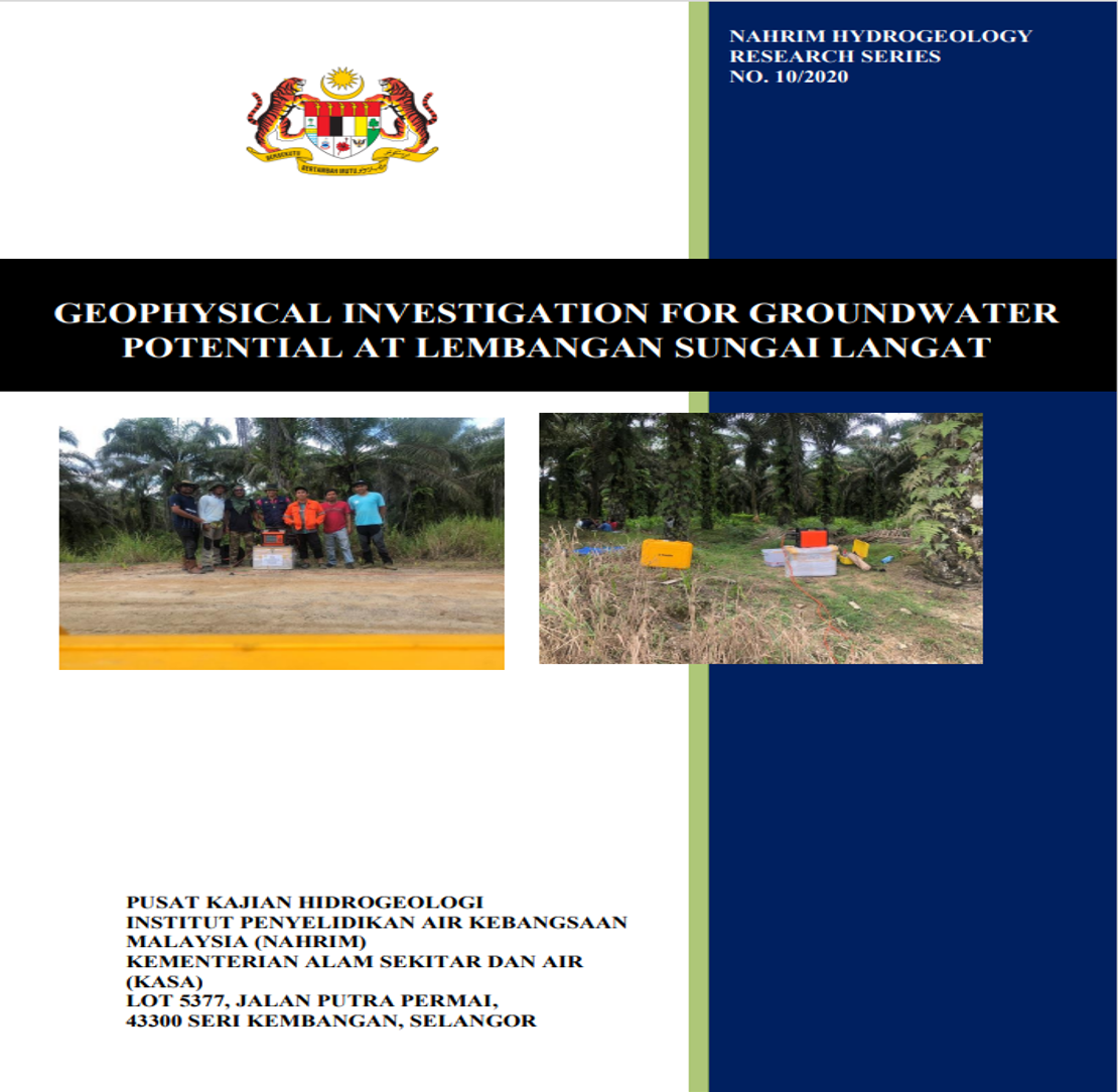
GEOPHYSICAL INVESTIGATION FOR GROUNDWATER POTENTIAL AT LEMBANGAN SUNGAI LANGAT
The study on the hydrogeology condition in Daerah Hulu Langat, Selangor was conducted by using geophysical method. The objective of the study is to identify the existence of bearing groundwater aquifer and also to assess the potential of river water infiltration into the groundwater system for the development of the clean water supply at Daerah Hulu Langat. Two locations were selected at Kg. Jenderam Hilir in order to fulfill the purpose on the studies and two (2) resistivity survey lines using the 2-D imaging technique was successfully conducted. The resistivity survey was conducted using ABEM Terrameter SAS 4000 combined with ES 10-64 electrodes. Resistivity image for profile L1-L1’ and L2-L2’ at Kg. Jenderam Hilir showed the existence of bearing groundwater aquifer with resistivity values ranges from 5 to 120 ohm.m at the river bank of Langat River. The images also showed the presence of semipermeable geological materials (ranges from 200 to 5000 ohm.m) throughout the geological sub-surface profile. The presence of these materials resulted in the hindrance of the infiltration from the river and lakes into the groundwater system. Indirectly, it also caused the difference in quantity of the groundwater in the study area. Pumping tests analysis can be used for validating amount of groundwater storage in the aquifer.
Authors
Abstract
The study on the hydrogeology condition in Daerah Hulu Langat, Selangor was conducted by using geophysical method. The objective of the study is to identify the existence of bearing groundwater aquifer and also to assess the potential of river water infiltration into the groundwater system for the development of the clean water supply at Daerah Hulu Langat. Two locations were selected at Kg. Jenderam Hilir in order to fulfill the purpose on the studies and two (2) resistivity survey lines using the 2-D imaging technique was successfully conducted. The resistivity survey was conducted using ABEM Terrameter SAS 4000 combined with ES 10-64 electrodes. Resistivity image for profile L1-L1’ and L2-L2’ at Kg. Jenderam Hilir showed the existence of bearing groundwater aquifer with resistivity values ranges from 5 to 120 ohm.m at the river bank of Langat River. The images also showed the presence of semipermeable geological materials (ranges from 200 to 5000 ohm.m) throughout the geological sub-surface profile. The presence of these materials resulted in the hindrance of the infiltration from the river and lakes into the groundwater system. Indirectly, it also caused the difference in quantity of the groundwater in the study area. Pumping tests analysis can be used for validating amount of groundwater storage in the aquifer.
Citation
P.GEOL, DR. MOHD KHAIRUL NIZAR SHAMSUDDIN. 2021. GEOPHYSICAL INVESTIGATION FOR GROUNDWATER POTENTIAL AT LEMBANGAN SUNGAI LANGAT. Digital NAHRIM Publication Repository.