
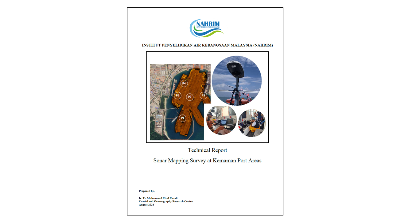
Sonar Mapping Survey at Kemaman Port Areas
Understanding the morphology of the seabed is crucial for ensuring the safety, efficiency, and sustainability of port operations, especially in high-traffic areas like Kemaman Port, Terengganu. The dynamic nature of coastal and port environments, influenced by tidal currents, sediment transport, and anthropogenic activities, necessitates regular monitoring and mapping of the seafloor. In this regard, side scan sonar (SSS) technology plays a vital role in producing high-resolution images that reveal the physical characteristics and composition of the seabed. These images are instrumental in identifying sedimentation patterns, bottom current effects, and potential underwater hazards, all of which are essential for informed decision-making in port maintenance and maritime navigation. This study, conducted collaboratively by NAHRIM, Universiti Malaysia Terengganu (UMT), and CNH Advantech Sdn. Bhd., involved a comprehensive sonar survey using dual-frequency side scan sonar integrated with differential GPS (DGPS) positioning systems. The survey focused on two key areas: the internal port area within Kemaman Supply Base (KSB) and the external coastal and riverine waters extending approximately one nautical mile from the port. By processing the collected sonar data through advanced software platforms such as Sonar Wiz and ArcGIS, a detailed mosaic of the seabed was produced, offering insights into sediment dynamics, accumulation zones, and the presence of natural and man-made seabed features. The primary objective of this survey is to support the ongoing study of sediment transport and its implications for port maintenance and coastal development. In doing so, it also contributes to the broader understanding of how hydrodynamic forces shape the seabed and affect port infrastructure. This introduction sets the stage for the subsequent analysis, which interprets sonar images to uncover the patterns and processes at play beneath the surface of Kemaman Port and its adjacent coastal waters.
Authors
Abstract
Understanding the morphology of the seabed is crucial for ensuring the safety, efficiency, and sustainability of port operations, especially in high-traffic areas like Kemaman Port, Terengganu. The dynamic nature of coastal and port environments, influenced by tidal currents, sediment transport, and anthropogenic activities, necessitates regular monitoring and mapping of the seafloor. In this regard, side scan sonar (SSS) technology plays a vital role in producing high-resolution images that reveal the physical characteristics and composition of the seabed. These images are instrumental in identifying sedimentation patterns, bottom current effects, and potential underwater hazards, all of which are essential for informed decision-making in port maintenance and maritime navigation. This study, conducted collaboratively by NAHRIM, Universiti Malaysia Terengganu (UMT), and CNH Advantech Sdn. Bhd., involved a comprehensive sonar survey using dual-frequency side scan sonar integrated with differential GPS (DGPS) positioning systems. The survey focused on two key areas: the internal port area within Kemaman Supply Base (KSB) and the external coastal and riverine waters extending approximately one nautical mile from the port. By processing the collected sonar data through advanced software platforms such as Sonar Wiz and ArcGIS, a detailed mosaic of the seabed was produced, offering insights into sediment dynamics, accumulation zones, and the presence of natural and man-made seabed features. The primary objective of this survey is to support the ongoing study of sediment transport and its implications for port maintenance and coastal development. In doing so, it also contributes to the broader understanding of how hydrodynamic forces shape the seabed and affect port infrastructure. This introduction sets the stage for the subsequent analysis, which interprets sonar images to uncover the patterns and processes at play beneath the surface of Kemaman Port and its adjacent coastal waters.
Citation
IR. TS. MUHAMMAD RIZAL RAZALI, SAIFUL BAHRI HAMZAH, SITI SALIHAH HJ MOHD SENDEK. 2024. Sonar Mapping Survey at Kemaman Port Areas. Digital NAHRIM Publication Repository.